Portland’s 4T Trail offers a unique way to see many of the city’s top sights and attractions sustainably while getting a fun workout.
See the city by Trail, Tram, Trolley & Train — Portland Aerial Tram, Portland Streetcar (trolley), the TriMet MAX light rail (train), and of course, your own feet (trail).
We take advantage of a particularly gorgeous May day to do the route a second time, nearly a year after first completing the trail on our wedding anniversary.
While the weather and trail conditions are nearly identical to last June, something is quite different this time around as you’re sure to notice. We’ve included pics from both hikes here for a more detailed trail report.
If you’re thinking of tackling the 4T Trail yourself, our trip report will give you an idea of what to expect, plus helpful tips for your own Portland adventure!
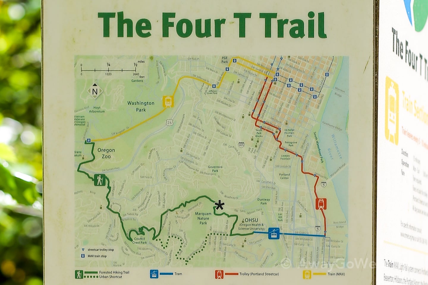
Portland 4T Trail Overview
Inaugurated in 2009, the 4T Trail promises the “best of Portland” in three hours, and in many respects, delivers.
The 14.5 km (9 mi) loop encompasses Oregon Zoo via Washington Park, Council Crest Park and Marquam Nature park, South Waterfront neighborhood via OHSU, and Portland City Center.
But if a 9-mile hike sounds like more than you bargained for, not to worry! That’s the total loop distance for all four modes of transport.
The mandatory hiking leg weighs in at around 4.5 miles, but you can extend this like we did by hiking some of the MAX or Streetcar portion of the route.
The trail is a loop, so you can start/end at any point. But most hikers seem to opt for starting at the Oregon Zoo or at some point downtown.
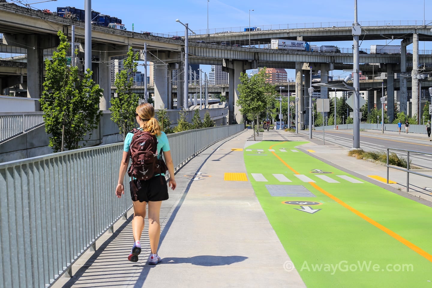
Since we’re hoofing it from our apartment in Goose Hollow today, we’re starting there.
But not before a quick breakfast stop.
We like to take this shaded alley from King’s Hill down into Goose Hollow, which dumps you out a block away from the Goose Hollow Inn.
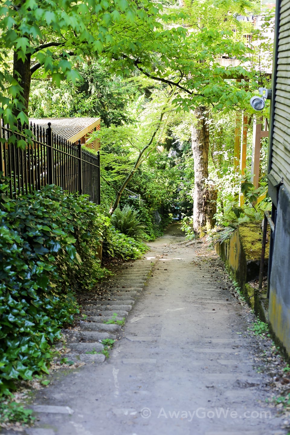
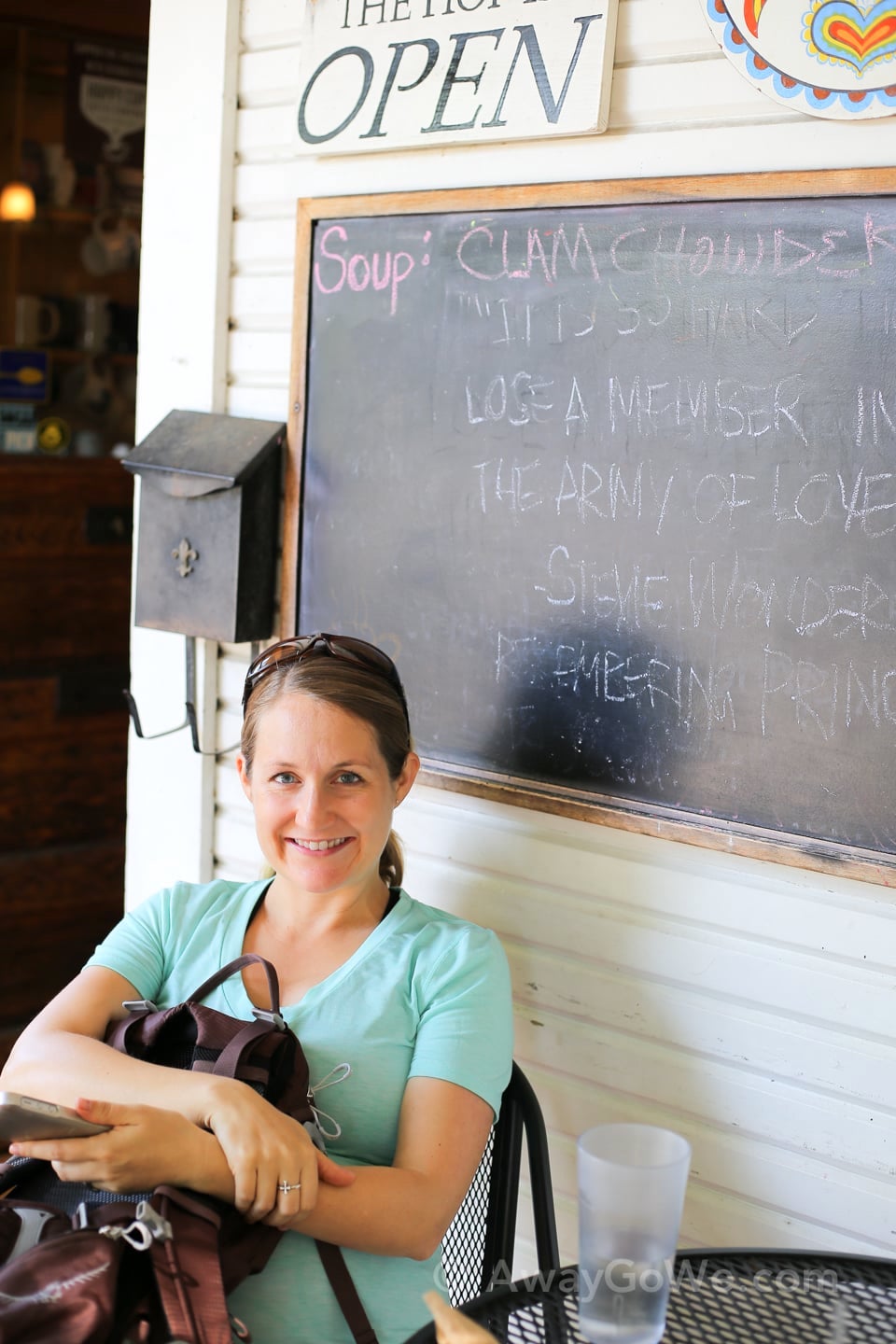
We grab a breakfast burrito (and I get a cold brew) at Fehrenbacher Hof, a neighborhood favorite for coffee and stuff.

After enjoying our breakfast, al fresco, we walk across the street to catch the MAX Light Rail, Portland’s light rail and the “Train” portion of the four Ts.
First Leg: Train
We actually skipped this first step last year, which ended up making the “Trail” part of our day nine miles instead of four.
By the time we completed the loop, our feet were protesting pretty loudly. So this time, we thought we’d try and stick closer to the spirit of the activity and do all four Ts of the 4T Trail.
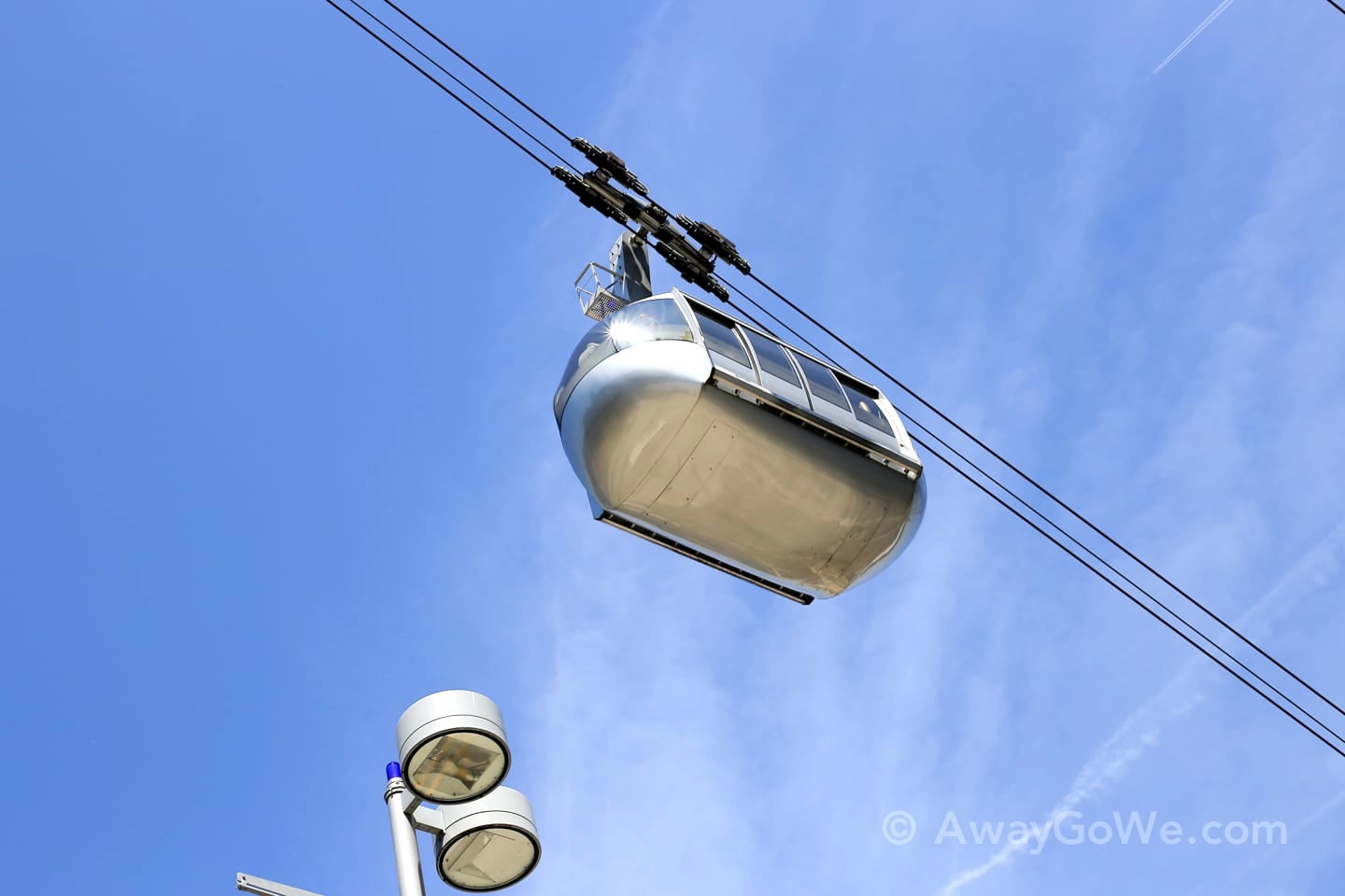
For some reason, I always forget to take pictures of the crucial transportation components of this hike, so I’ve included some stock photos of the MAX, and later on the Portland Street Car.
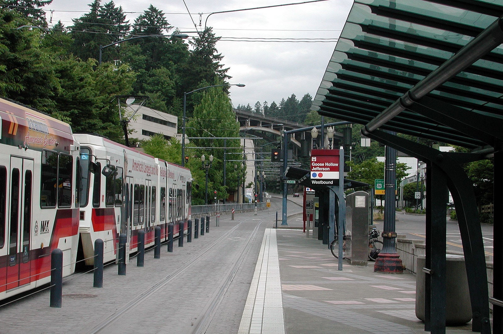
We take the Trimet MAX Light Rail one stop from Goose Hollow station to Washington Park (Portland Zoo) station.
At 260 feet underground, it is the deepest transit station in North America and one of the deepest in the world.
While the elevator ride takes 25 seconds, the distance in geological time is about 16 million years.
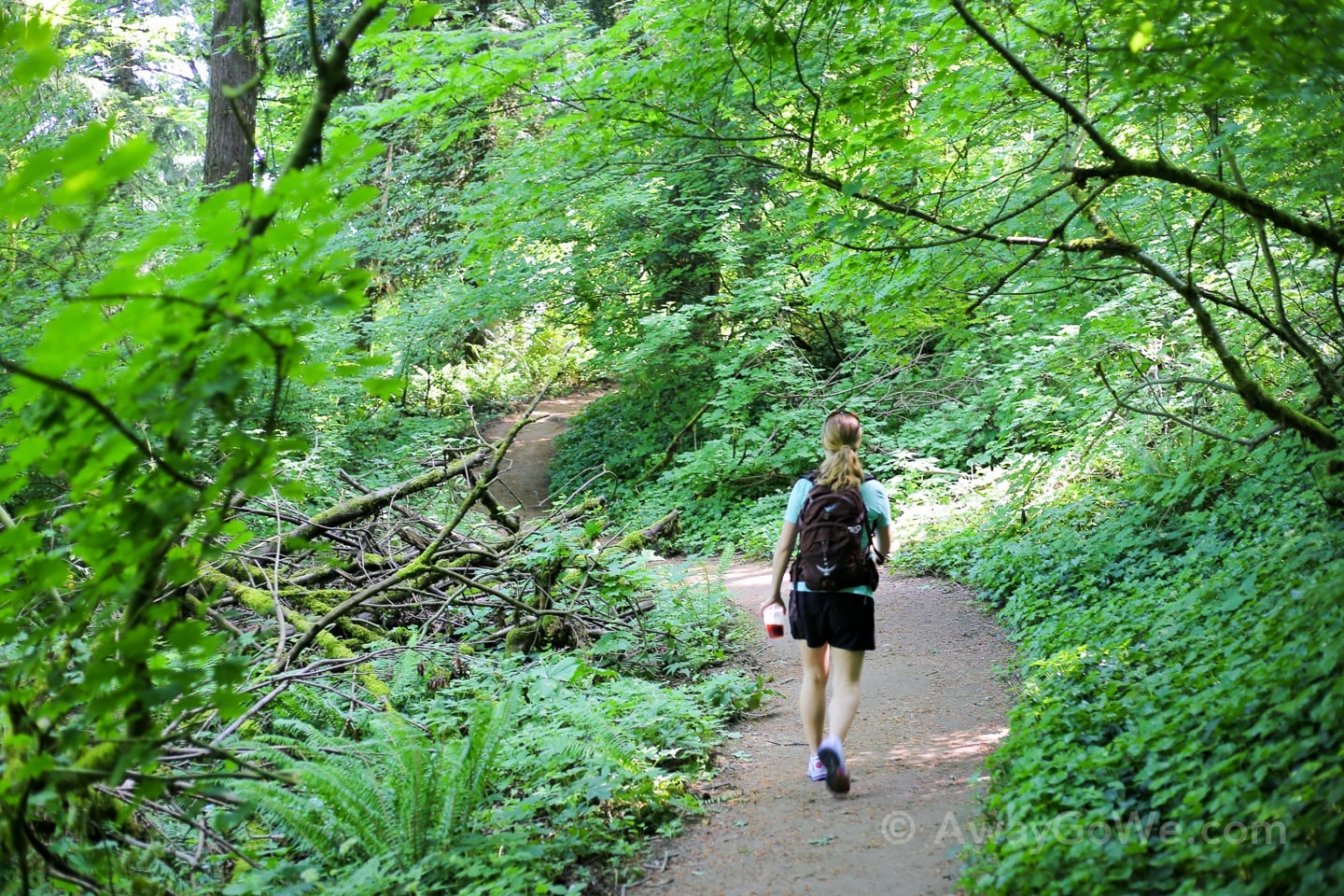
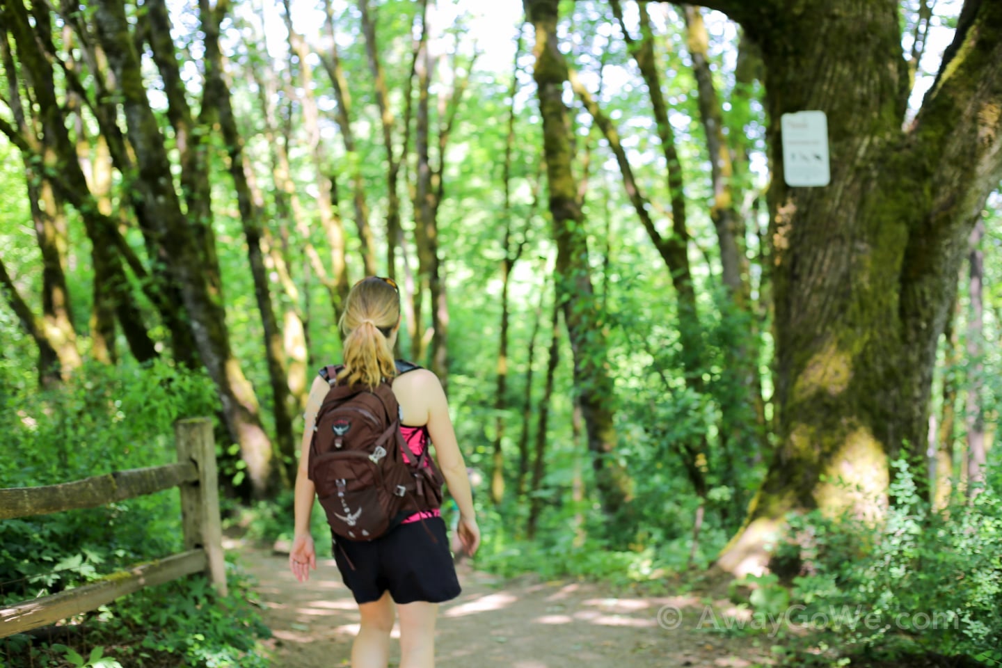
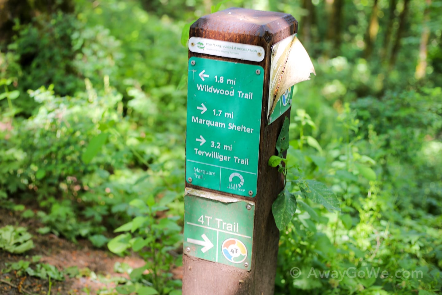
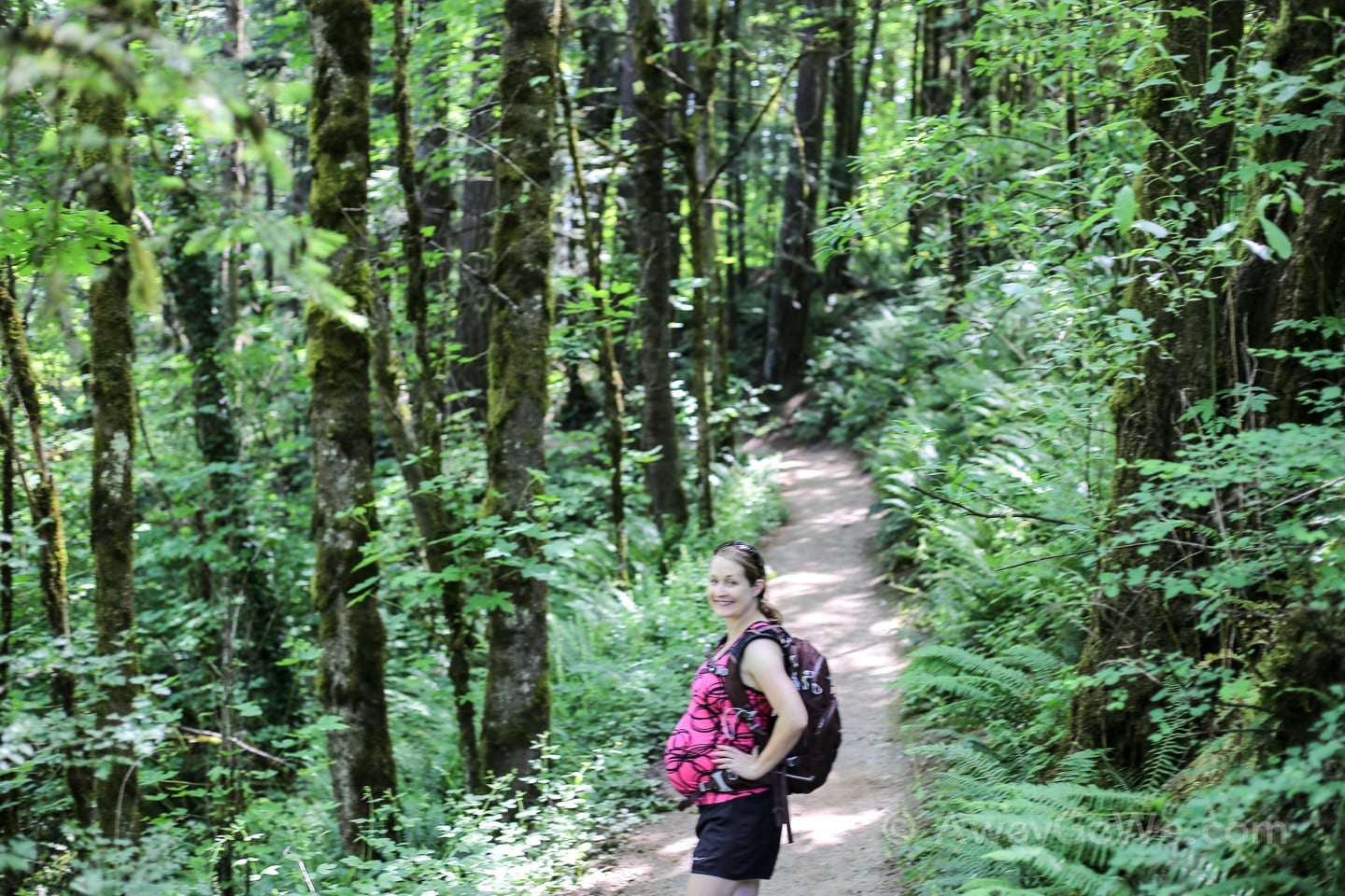
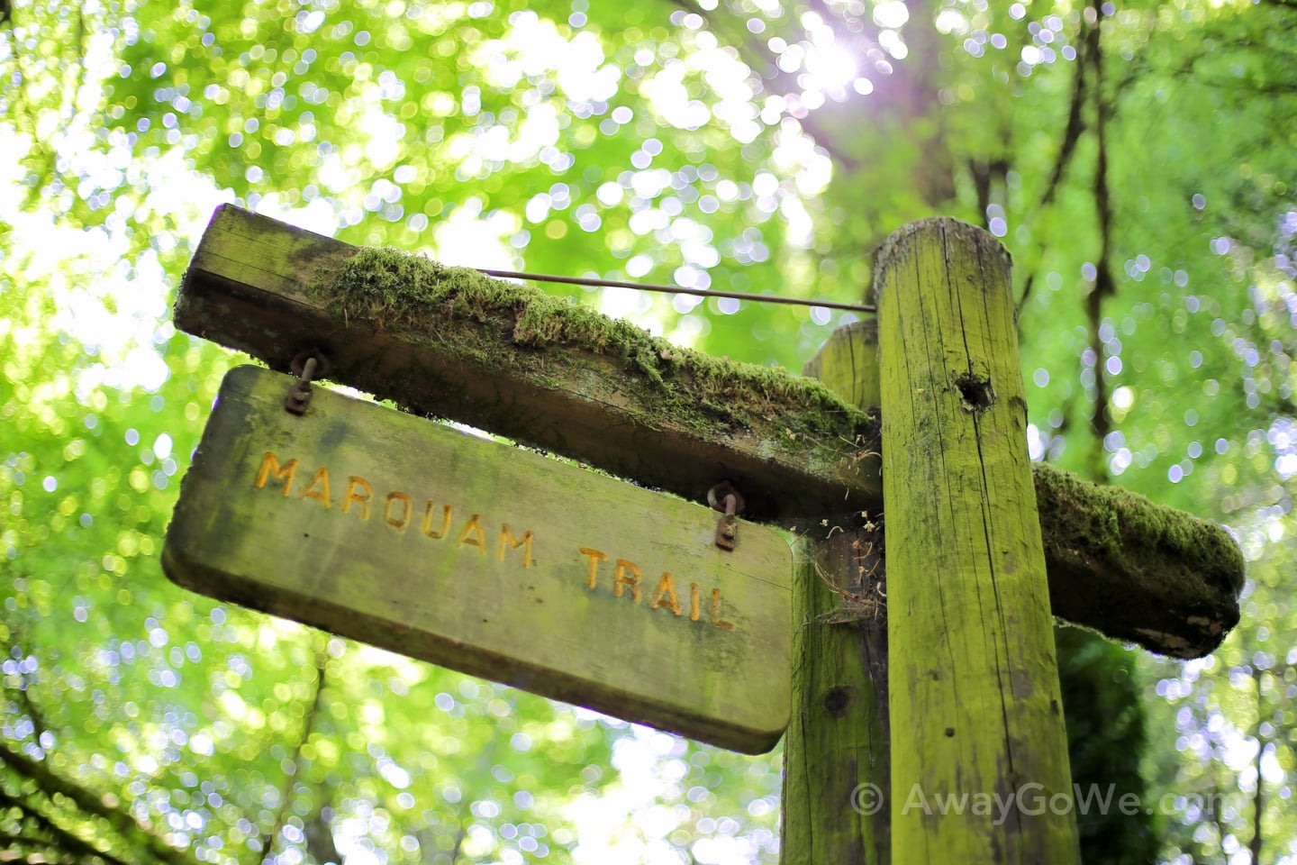
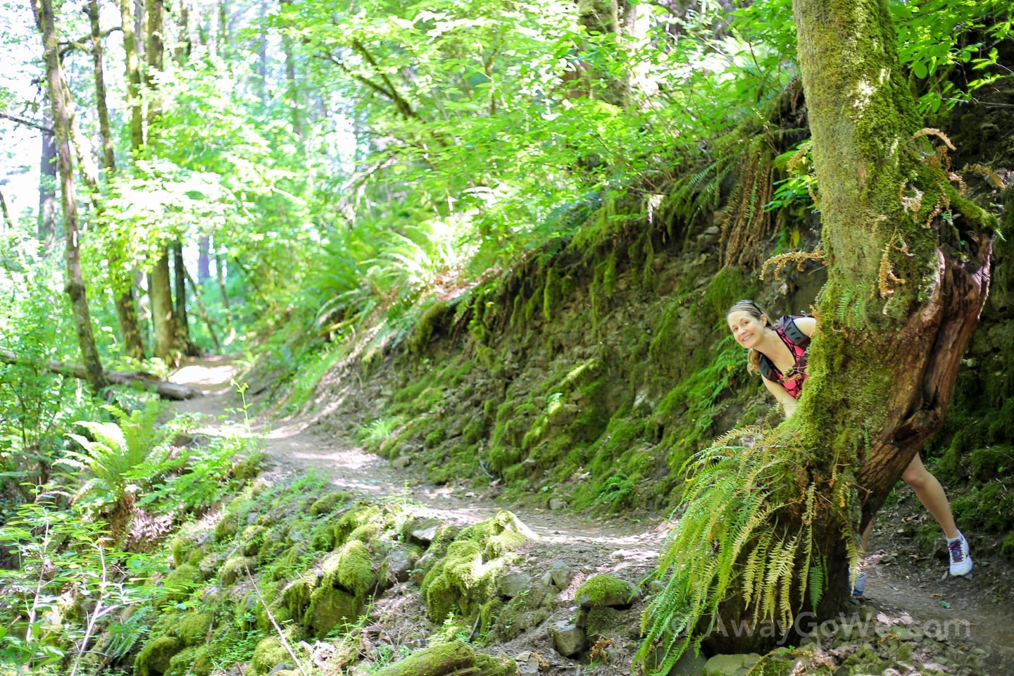
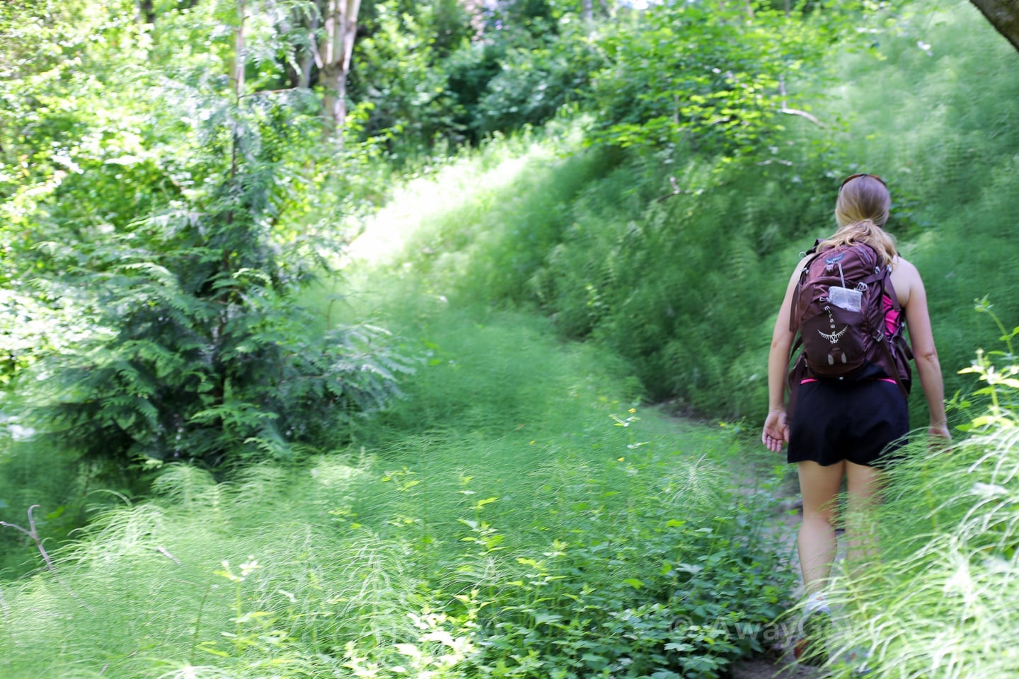
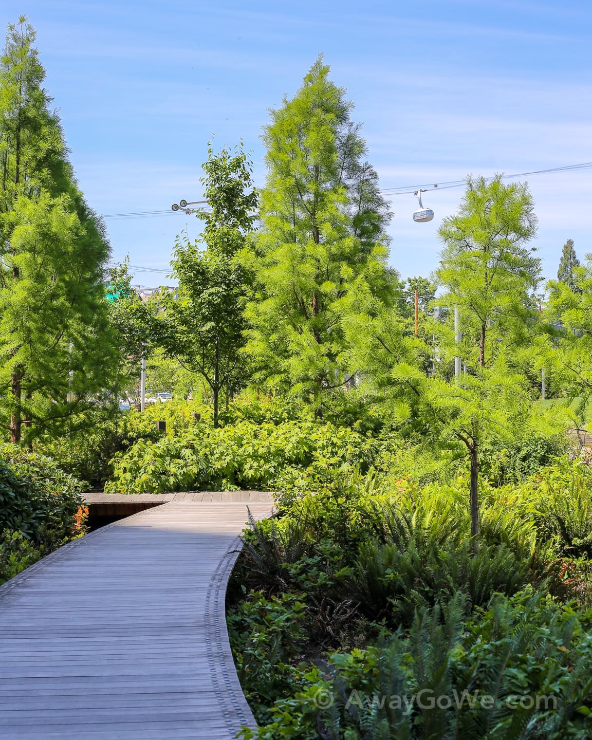
Second Leg: Trail
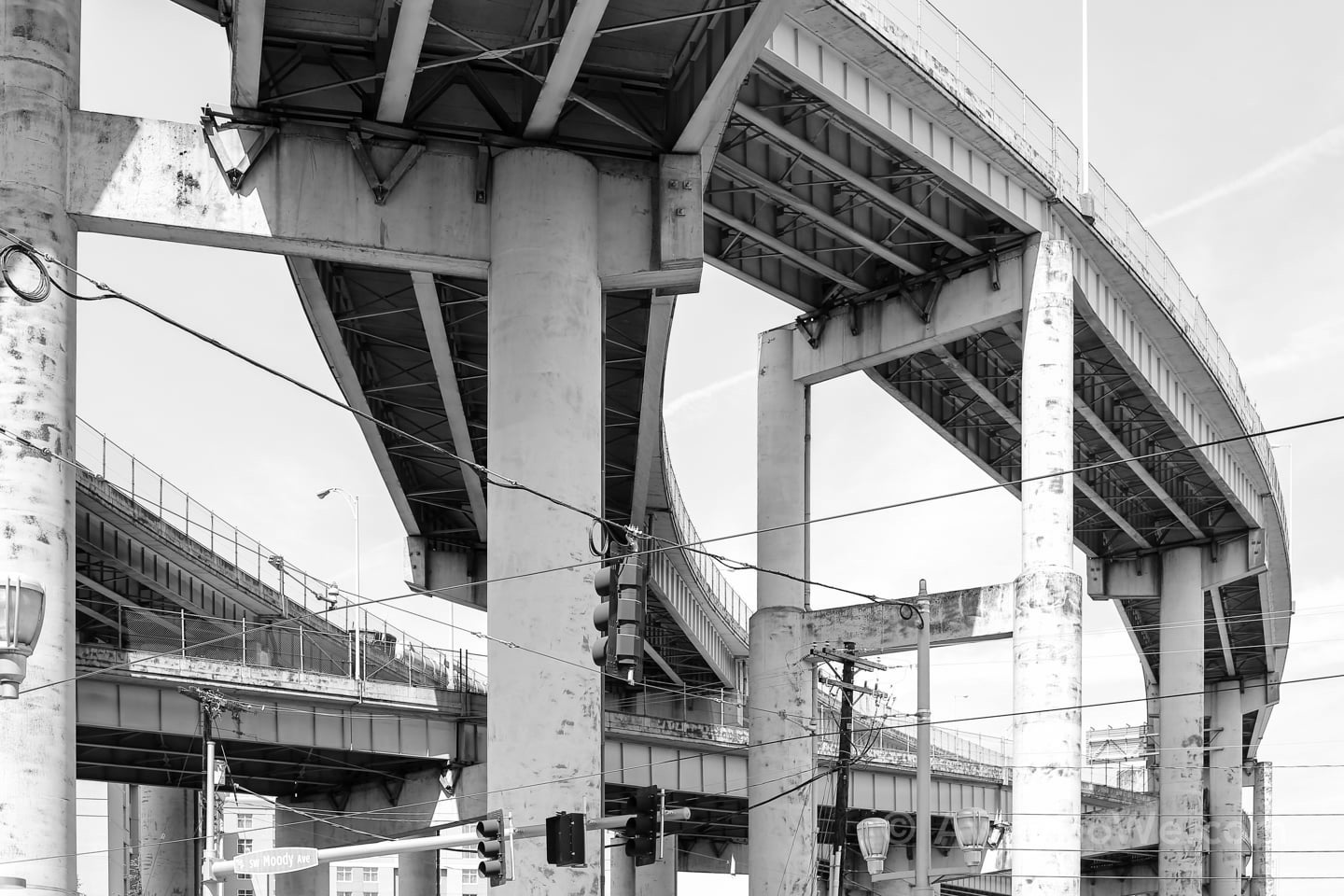
After leaving the Washington Park station, we use the overpass to cross Highway 26 and hook on to the Marquam Trail about half way down the eastbound onramp.
From here, it’s about a four-mile hike to the upper tram terminal at Oregon Health Sciences University (OHSU) via Council Crest Park.
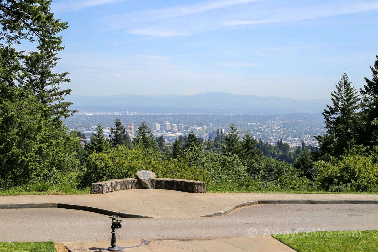
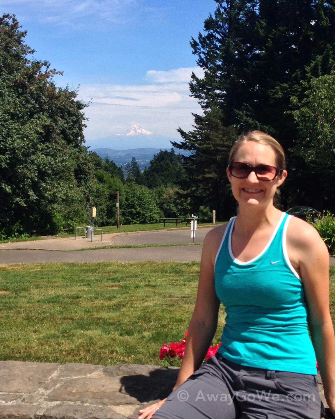
We stop for about twenty minutes at Council Crest to enjoy the view of downtown and the Cascade Mountain Range.
At this point, we’ve gained about 1,000 feet in elevation from our apartment.
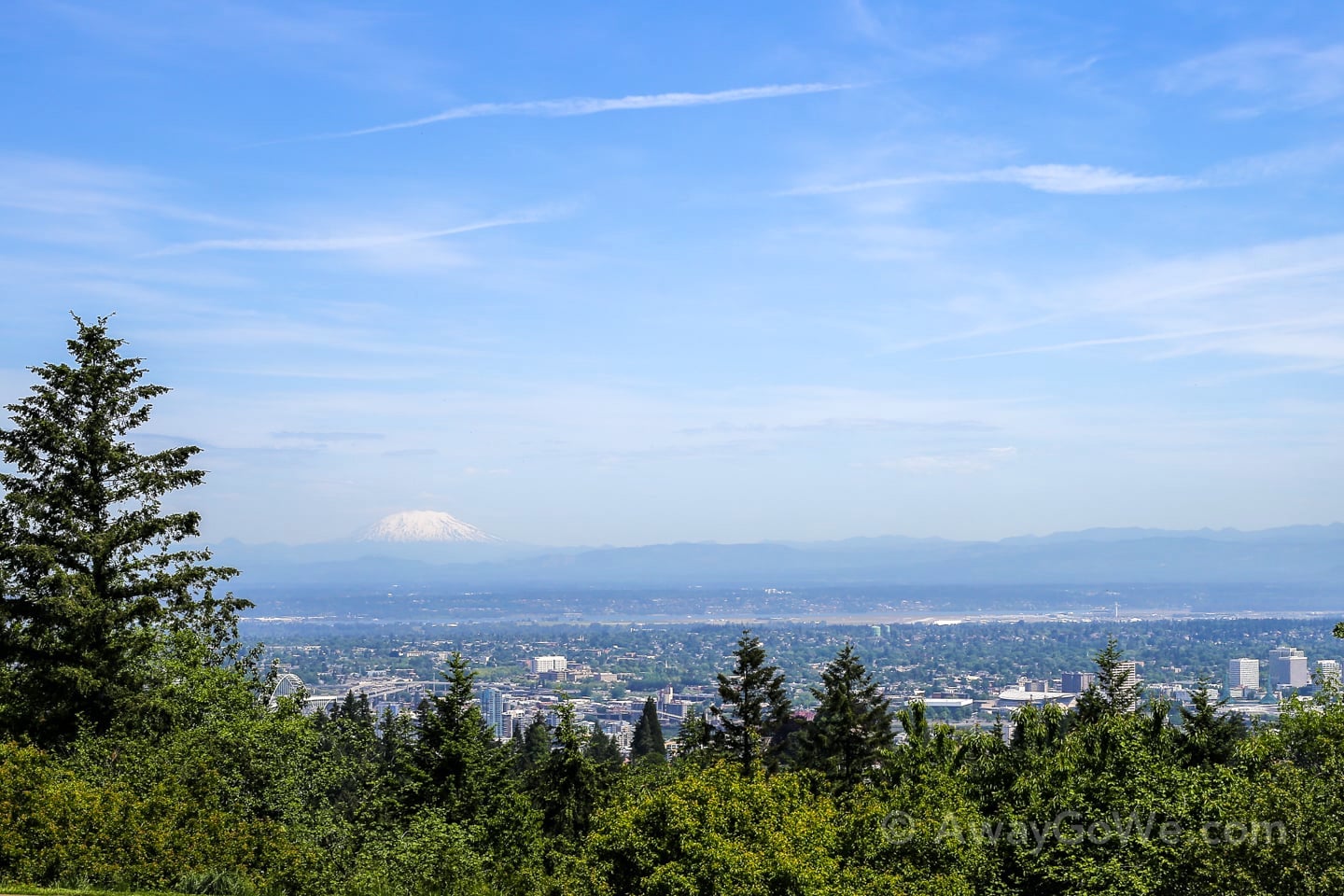
From here, you can see Mt. Rainier, St. Helens, Adams and Hood.
Below, you can barely see Mt. Adams peaking out in the center of the photo.
Built-in cupholder!

Mt. St. Helens off to the north:
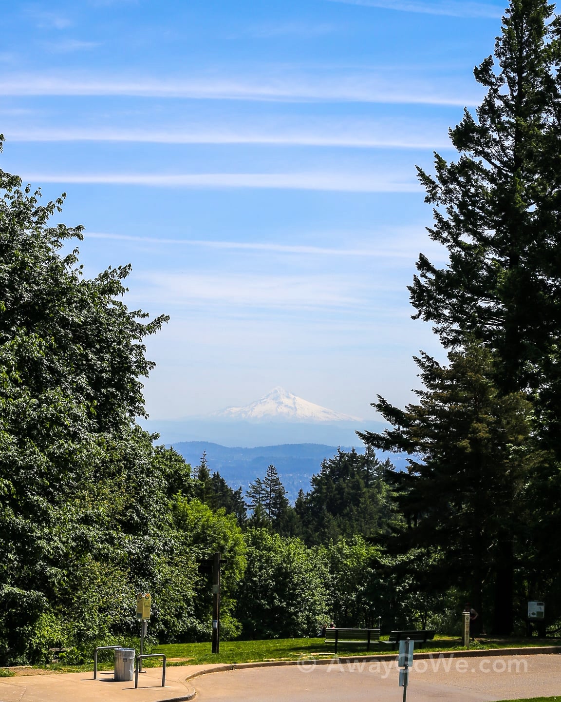
Mt. Hood off to the east:
One year ago. Notice anything different?
How about now?
Yep! You’re absolutely right, quite a bit more snow on the mountain this year. Very observant!
Now, if you were standing here a hundred year ago, this is what Council Crest would have looked like:
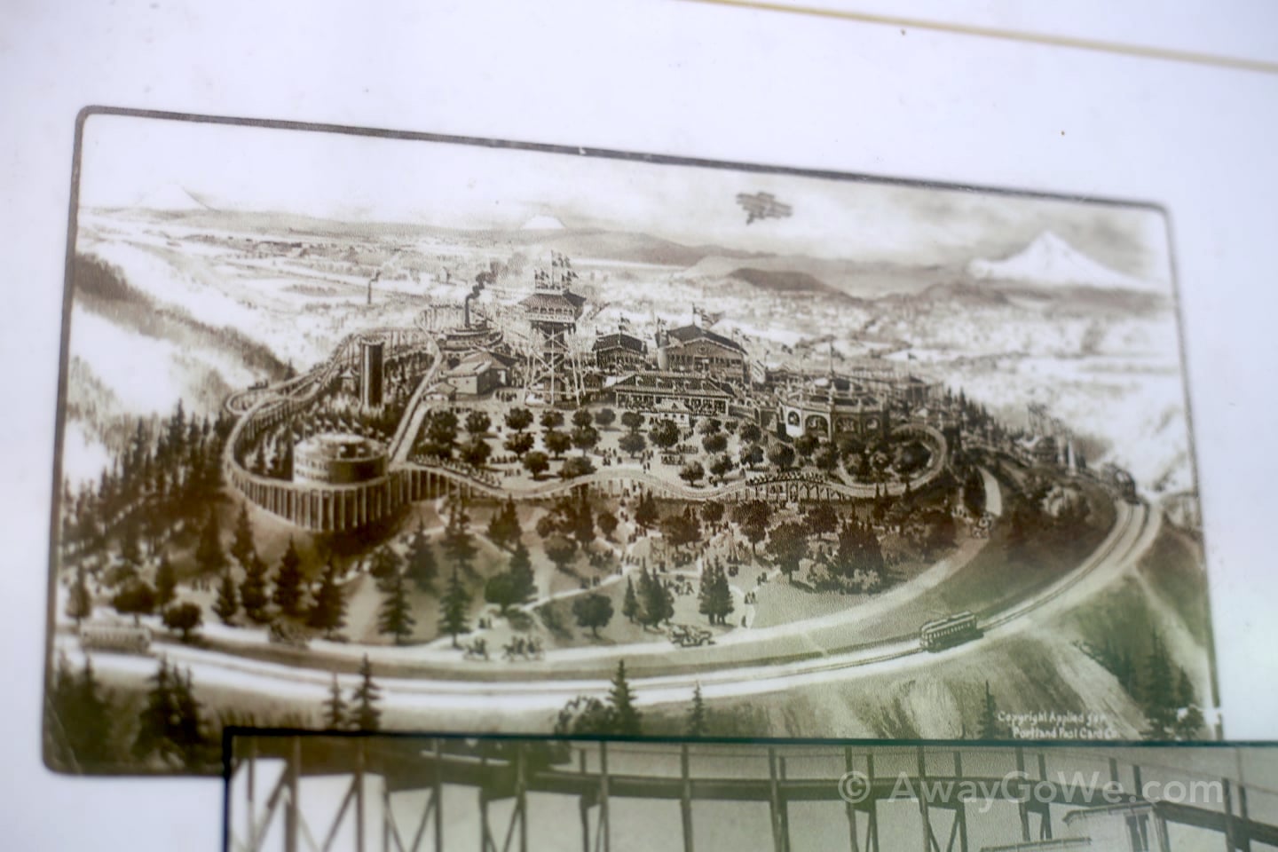
Just slightly different.
And here’s a banana slug:
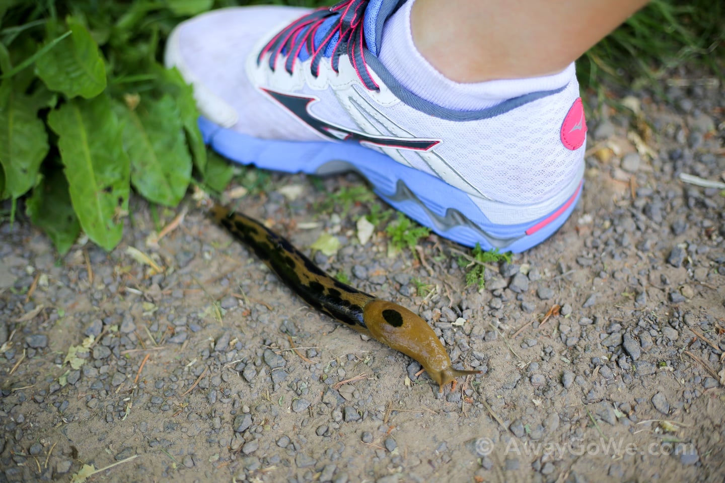
Our visitors love these guys. We’ve seen ones longer than Lori’s foot. Lori’s feet are pretty small, but still, those are huge slugs!
🔥 HOT TIP 🔥
We like to do the route counter-clockwise because we save on tram fare (there are only ticket machines at the Lower Tram Terminal). I guess they (rightly) assume that who goes up, must come down — that is, unless you are doing the 4T Trail. So going down ends up being free!
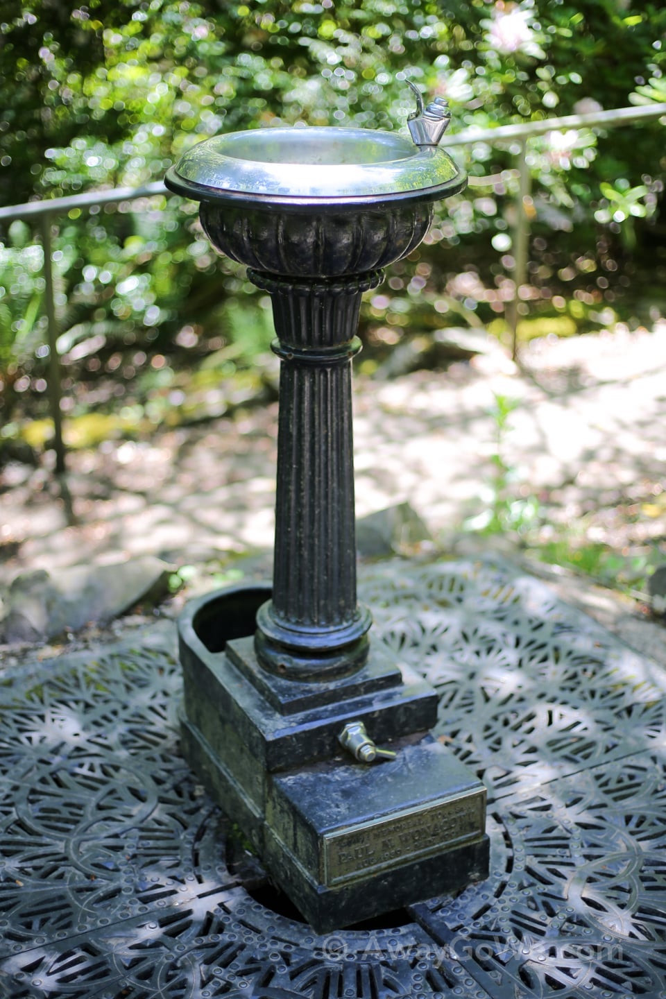
From Council Crest we hook back onto the trail and follow the signs to Marquam Shelter.
A random (and functioning) old bubbler greets hikers along the way:
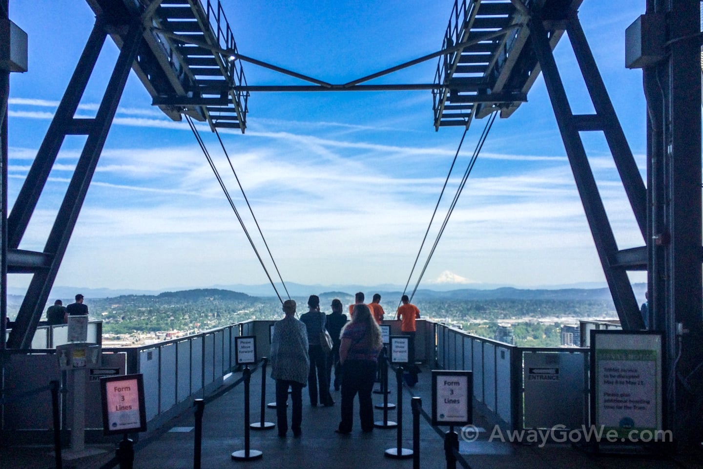
Third Leg: Tram
The third leg of our journey involves hopping on the Portland Aerial Tram from OHSU main campus to South Waterfront.
The Marquam trail dumps you onto the OHSU campus, where you must wind your way through one of the hospital buildings to the Upper Tram Terminal.
Not a bad view to greet the end of your workday at OHSU.
Here we go!
Next stop: South Waterfront.
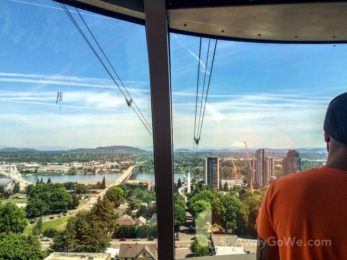
Lower tram terminal with the upper tram terminal viewable in the distance.
Yep, we’re definitely in Portland…
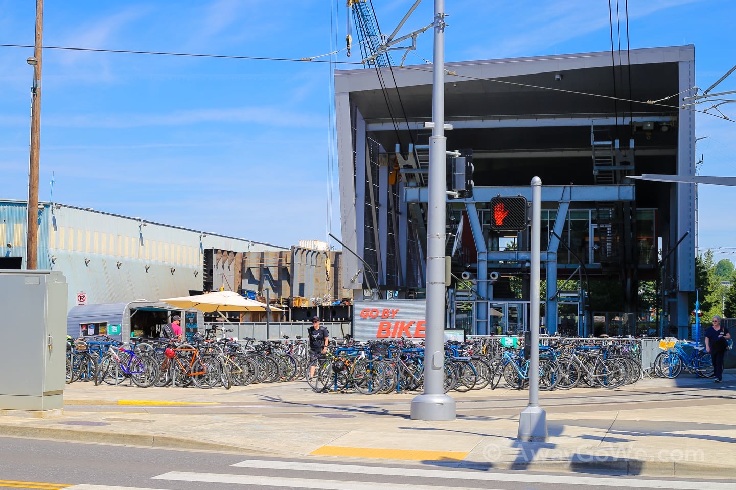
Upon exiting the Lower Tram Terminal, we suddenly realize we’re pretty darn hungry.
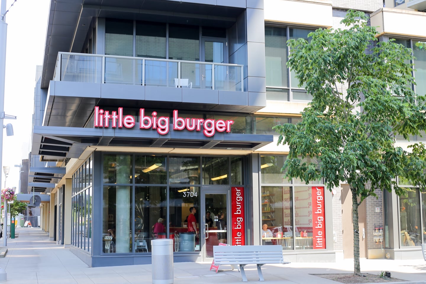
Now becoming a tradition, we stop at Little Big Burger in the South Waterfront neighborhood. Love them burgers, truffle fries, and special sauce. And who can’t resist a fast-food burger joint that sells beer!
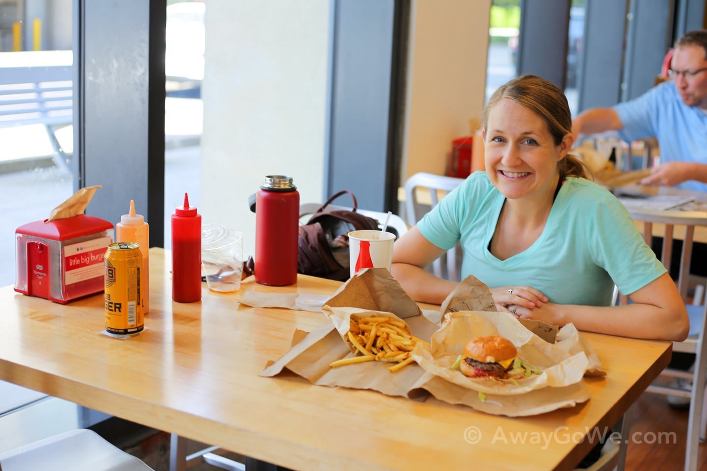
That smile doesn’t lie — we are excited and HUNGRY.
Well, I am, at least.
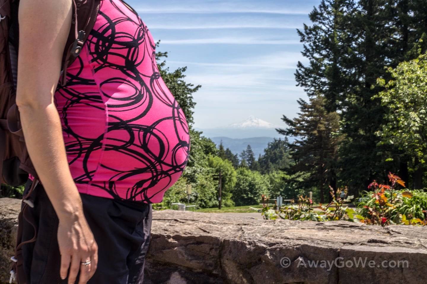
Crazy stuff you learn as a father-to-be — #164: Pregnant women aren’t always hungry! In fact, sometimes they eat even less than they did pre-pregnancy. Say wha…?
Or at least this is true for Lori right now. Baby’s all crowded up in her stomach, apparently. That’ll change when baby drops, I’m sure, but for now, she’s 100% content with the granola bar she ate about 30 minutes ago, a half bag of truffle fries, and a Root Beer float.
And I’m VERY happy about my burger, fries, and beer.
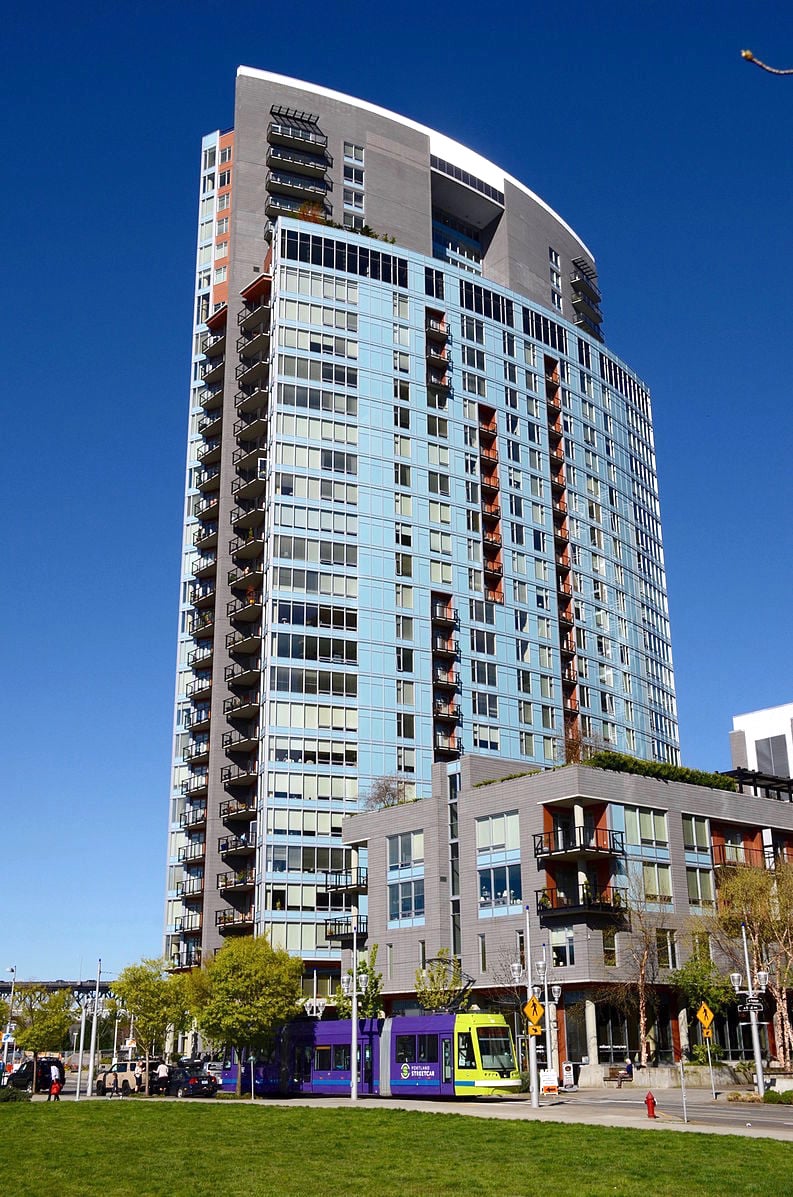
Fourth Leg: Trolley
To complete the Portland 4T Trail, the next step after the tram ride is hopping a ride on the Trolley (Portland Streetcar) in South Waterfront.
Today, however, we’re both feeling good and decide to skip the streetcar and hoof it back home — an additional 2.5 miles from South Waterfront back up to King’s Hill/ Goose Hollow.
There’s something always very satisfying about passing cars stuck on the freeway during rush hour with your own two feet.
We made it!
More Unique Places to Visit in Oregon
Portland Area
- Portland’s Lan Su Chinese Garden: A First-Hand Guide
- Portland’s Alameda Ridge Stairs: Our First-Hand Guide
- Leach Botanical Garden: Portland Hidden Wonder
- Pittock Mansion Hike: Wildwood + Lower Macleay Trail
- Trillium Lake Hike in Oregon: All-Season Visitor’s Guide
- Hiking Tom McCall Point Trail + Rowena Plateau
Around Oregon